Approaches Home Page
2023 LiDAR
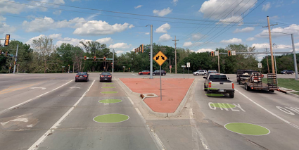
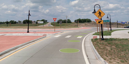
These features each represent a "leg" of an intersection and are each tied via attributes to a single Intersection feature. Most intersections have 4 legs/approaches though there are many 3-way and a few 5-way intersections.
Each point GIS feature was placed near the related intersection at the last place where traffic flows only from a single direction into the intersection. Where stop bars exist, they were placed on them.
- Only features tied to at-grade intersections on the State Highway System are included on the dashboard, though other posted versions of the data include some features related to intersections of roads off the State Highway System. (These typically occur in cities or towns where field crews drove all roads intersecting the State Highway System to find KDOT assets that may be located nearby.)
- Neither Intersections nor Approaches were extracted where ramps (entrance or exit) meet limited access highways at grade. As such, neither type of feature will exist for a typical cloverleaf interchange.
- Intersections and Approaches were extracted where entrance and exit ramps connect with other roads besides limited access highways at grade.
2021 LiDAR


KDOT makes no warranties, guarantees, or representations for accuracy of this information or any materials that are downloaded and assumes no liability for errors or omissions. In addition, KDOT makes no warranties, guarantees, or representations for the private or public use of any information or materials found on this site, the use of any information or data is at the user’s own risk.

