Guardrails Home Page
2023 LiDAR
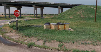
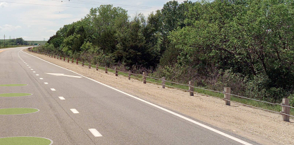
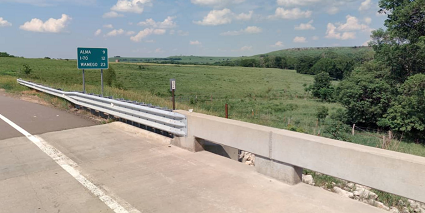
These linear features represent the locations and extents of guardrails and other similar roadway barriers that are found along shoulders and medians. The focus is on guardrails that follow the State Highway System (SHS), though other guardrails were extracted within 100' of the SHS.
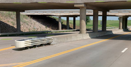
The attributes for each feature include the type of guardrail, the type of leading and trailing ends, whether a crash attenuator is present and the average height and offset from the roadway. Follow this link for more information about the Side of Road field in the attribute table. Side of Road and Exposure
Please note that some continuous/singular guardrails are broken into two features where guardrails "turn" at an intersection or partially follow an entrance or exit ramp in addition to the main roadway. This allows for each feature to be directly tied to the closest roadway via the RouteID attribute but may lead to inflated counts of features. Only the guardrails that follow the State Highway System in whole or in part are included on the dashboard, though other posted versions of the data include some features tied to roads off the State Highway System.
2021 LiDAR
KDOT makes no warranties, guarantees, or representations for accuracy of this information or any materials that are downloaded and assumes no liability for errors or omissions. In addition, KDOT makes no warranties, guarantees, or representations for the private or public use of any information or materials found on this site, the use of any information or data is at the user’s own risk.
