MEDIANS Home Page
2023 LiDAR
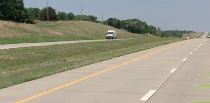
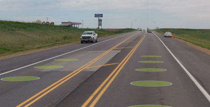
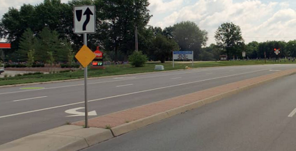
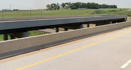
Each feature represents a stretch of the State Highway System and describes whether a median exists there and, if so, what type it is. These linear features are placed between the lanes of travel going in opposite directions, whether or not the road is split into dual carriageways, and are linked via attribute to the "inventory" direction of travel.
Median Type values match MIRE 2.0 standards and include "undivided" (paint only), paved medians (raised and flush), depressed medians and two types of divided medians.
Additional Notes:
- There are gaps at all at-grade intersections since medians can be assumed to not exist there..
- There are no median features associated with one-way roads, ramps or dual carriageways that are on separate bridges that are divided by water.
- The data includes some Median features for peripheral routes that intersect the State Highway System at grade. These have been removed from the dashboard, though other posted versions of the data include some features related to intersections of roads off the State Highway System.
2021 LiDAR
Not Collected in 2021
KDOT makes no warranties, guarantees, or representations for accuracy of this information or any materials that are downloaded and assumes no liability for errors or omissions. In addition, KDOT makes no warranties, guarantees, or representations for the private or public use of any information or materials found on this site, the use of any information or data is at the user’s own risk.

