Pavement Widths Home Page
2023 LiDAR
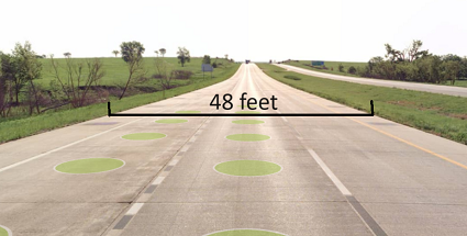
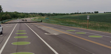
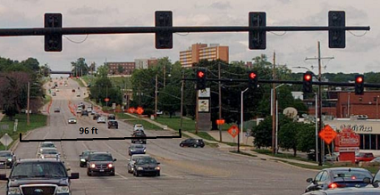
This layer provides the average width of paved surfaces on the State Highway System. It includes system-to-system ramps but not ramps joining the State Highway System to roads off the State Highway System. There is one set of continuous linear features for each carriageway, segmented any place the average width changes significantly* (including for the extent of paved intersections).
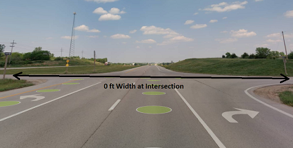
The Pavement Width field contains the total width of the paved surface, measured from edge to edge (including paved shoulders where they exist). A value of zero was applied for features that represent intersections since no logical width can be determined for them. Lower width values (less than 10ft) likely do not reflect the true extent of the roadway and require further review. Such instances are most commonly found near intersections, driveways, gore points, and construction areas.
* The minimum length for these features is set at 25'. These features will not represent variations in the pavement width unless they exceed that length.
2021 LiDAR
Not Collected in 2021


KDOT makes no warranties, guarantees, or representations for accuracy of this information or any materials that are downloaded and assumes no liability for errors or omissions. In addition, KDOT makes no warranties, guarantees, or representations for the private or public use of any information or materials found on this site, the use of any information or data is at the user’s own risk.

