Sidewalks Home Page
2023 LiDAR
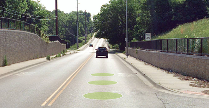
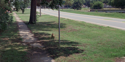
This layer depicts the location and two-dimensional (polygonal) extent of sidewalks that follow or run perpendicular to the State Highway System. The extent of features included varies, but 96% of features are within 1000' of the State Highway System and 99% are within 1300'. The dashboard for this layer includes all extracted features.
Notes:
- Some sidewalks within the data collection area may not be represented since they must be visible/detectable from the roadway.
- Continuous sidewalks are segmented at intersections where they "turn" and follow a different road.
Follow this link for more information about the Side of Road field in the attribute table. Side of Road and Exposure
2021 LiDAR
Not Collected in 2021


KDOT makes no warranties, guarantees, or representations for accuracy of this information or any materials that are downloaded and assumes no liability for errors or omissions. In addition, KDOT makes no warranties, guarantees, or representations for the private or public use of any information or materials found on this site, the use of any information or data is at the user’s own risk.

