Approaches Home Page
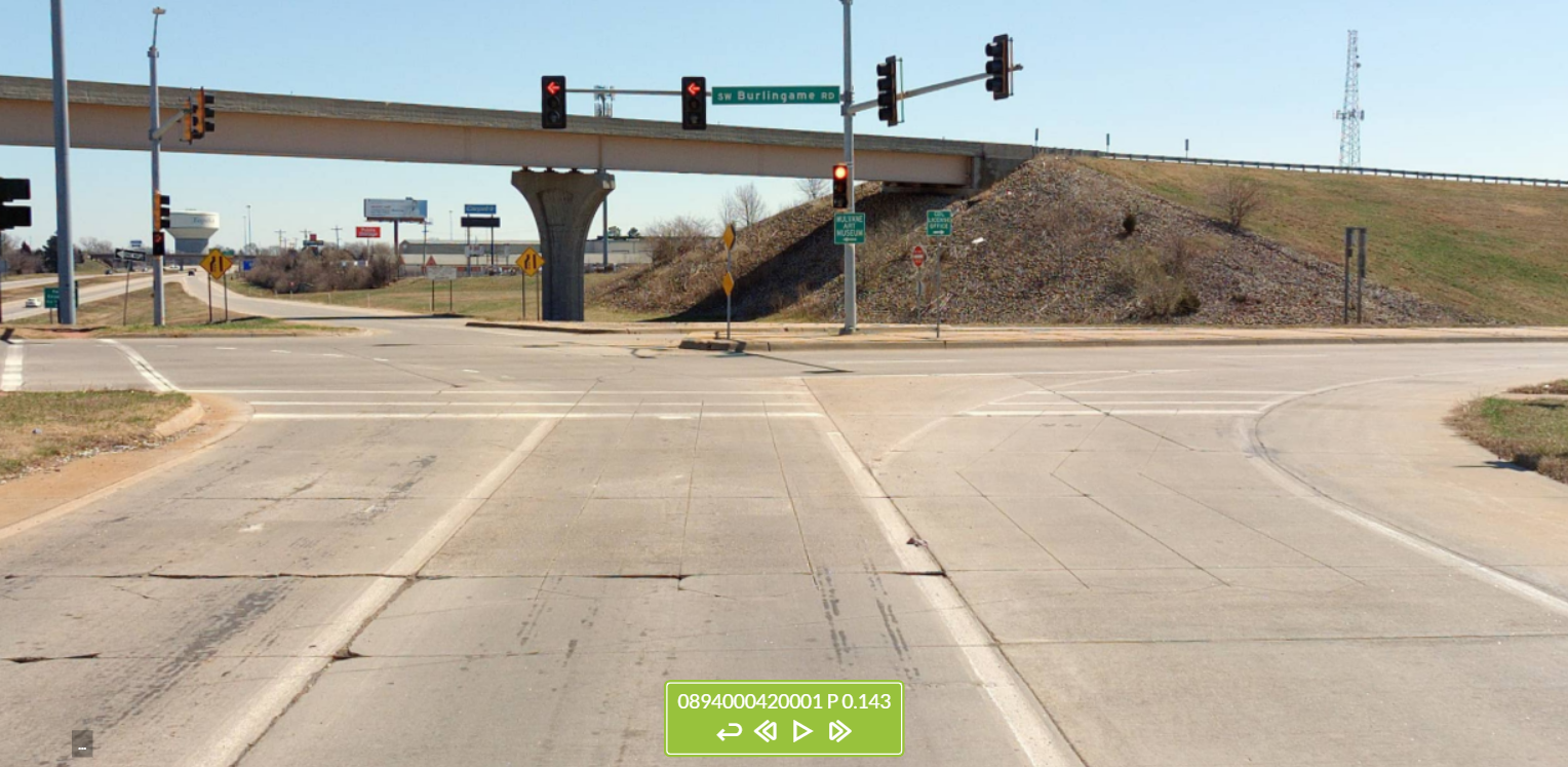
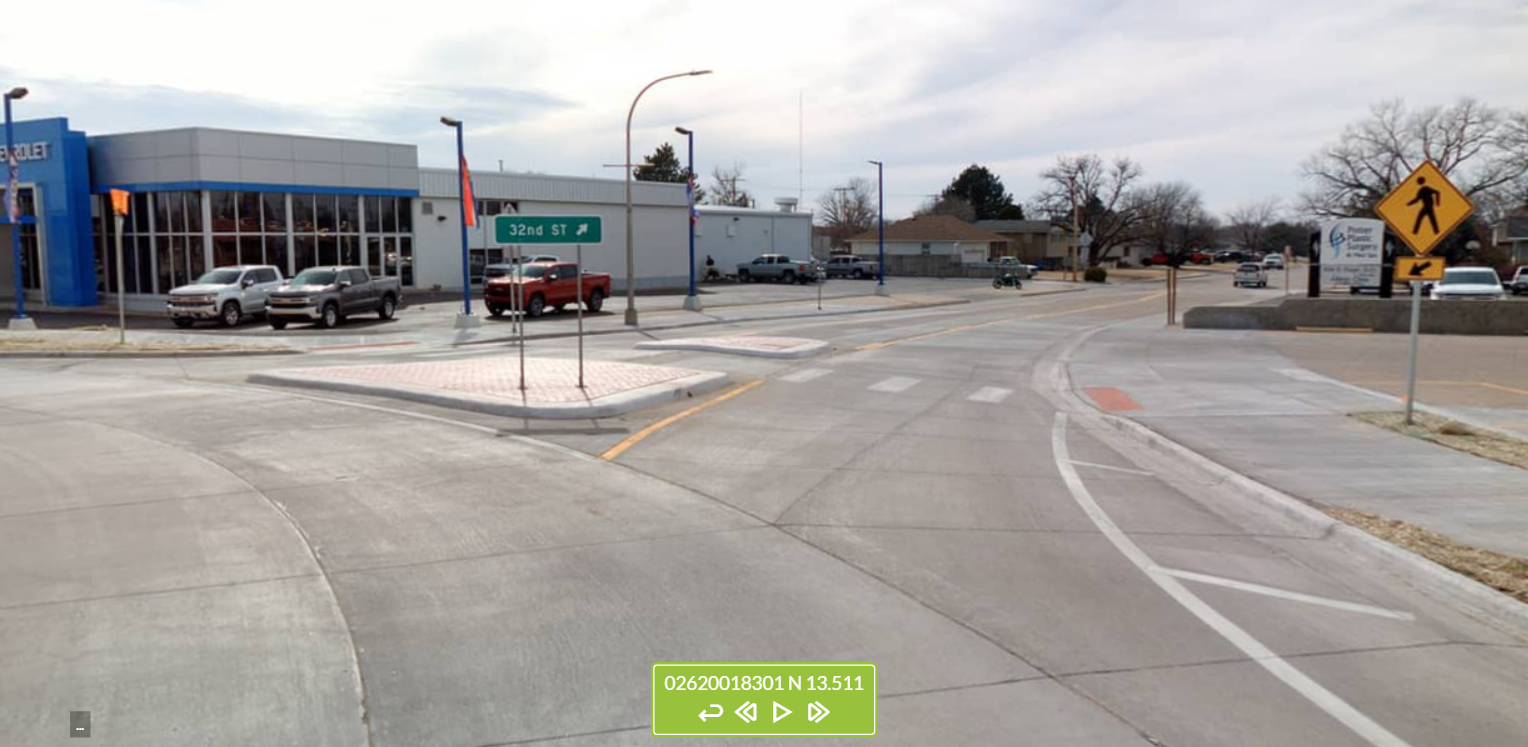
Each point GIS feature represents all lanes of traffic entering from a single leg of an intersection that includes one or more roads that are part of the State Highway System. These features were placed just outside of the intersections at the last place where traffic flows only a single direction into the intersection. Where stop bars exist, they were placed on them.
Notes:
- • These features were not collected or extracted for approaches related to intersections that are classified as interchanges/ramps according to the Federal Highway Administration (FHWA) Model Inventory Roadway Elements (MIRE). Functionally speaking, this means that features will not exist for many of the state’s largest intersections where more than one access-controlled roads intersect (e.g. cloverleaf and similar exchanges).
- • The majority of features are denoted as “uncontrolled” since there tend to be two features at each intersection of a State Highway System road with other roads (typically off the State Highway System) and only the latter tend to have stop or yield signs at such intersections.


KDOT makes no warranties, guarantees, or representations for accuracy of this information or any materials that are downloaded and assumes no liability for errors or omissions. In addition, KDOT makes no warranties, guarantees, or representations for the private or public use of any information or materials found on this site, the use of any information or data is at the user’s own risk.

