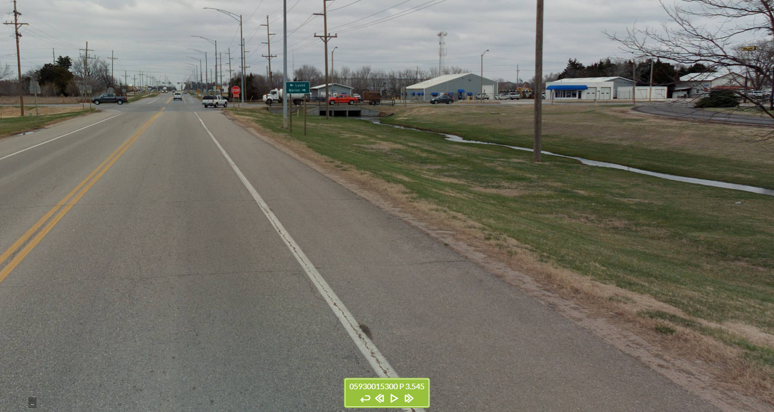
2021 KDOT MOBILE LiDAR PROJECT DATA PORTAL
Shoulders Home Page
Each linear/polyline GIS feature represents the location and extent of a continuous length of shoulder.
- • The data from two separate GIS layers (for paved and unpaved shoulders) have been combined into a single layer on the dashboard and web map linked below for display purposes. Features from the unpaved shoulders layer can be identified by the value of “0” or “unpaved” in the Paved Shoulder Type field.
- • Paved and unpaved shoulder features typically run parallel to each other along the side of roads so it may appear that only one feature exists (an unpaved or a paved shoulder) until you zoom in close enough to see both.
- • Only the paved shoulders are depicted on the Paved Shoulder Width Dashboard. Because there are separate records for each side of the same roadway, it is necessary to zoom in considerably until both are visible.

KDOT makes no warranties, guarantees, or representations for accuracy of this information or any materials that are downloaded and assumes no liability for errors or omissions. In addition, KDOT makes no warranties, guarantees, or representations for the private or public use of any information or materials found on this site, the use of any information or data is at the user’s own risk.

