Vertical Clearances Home Page
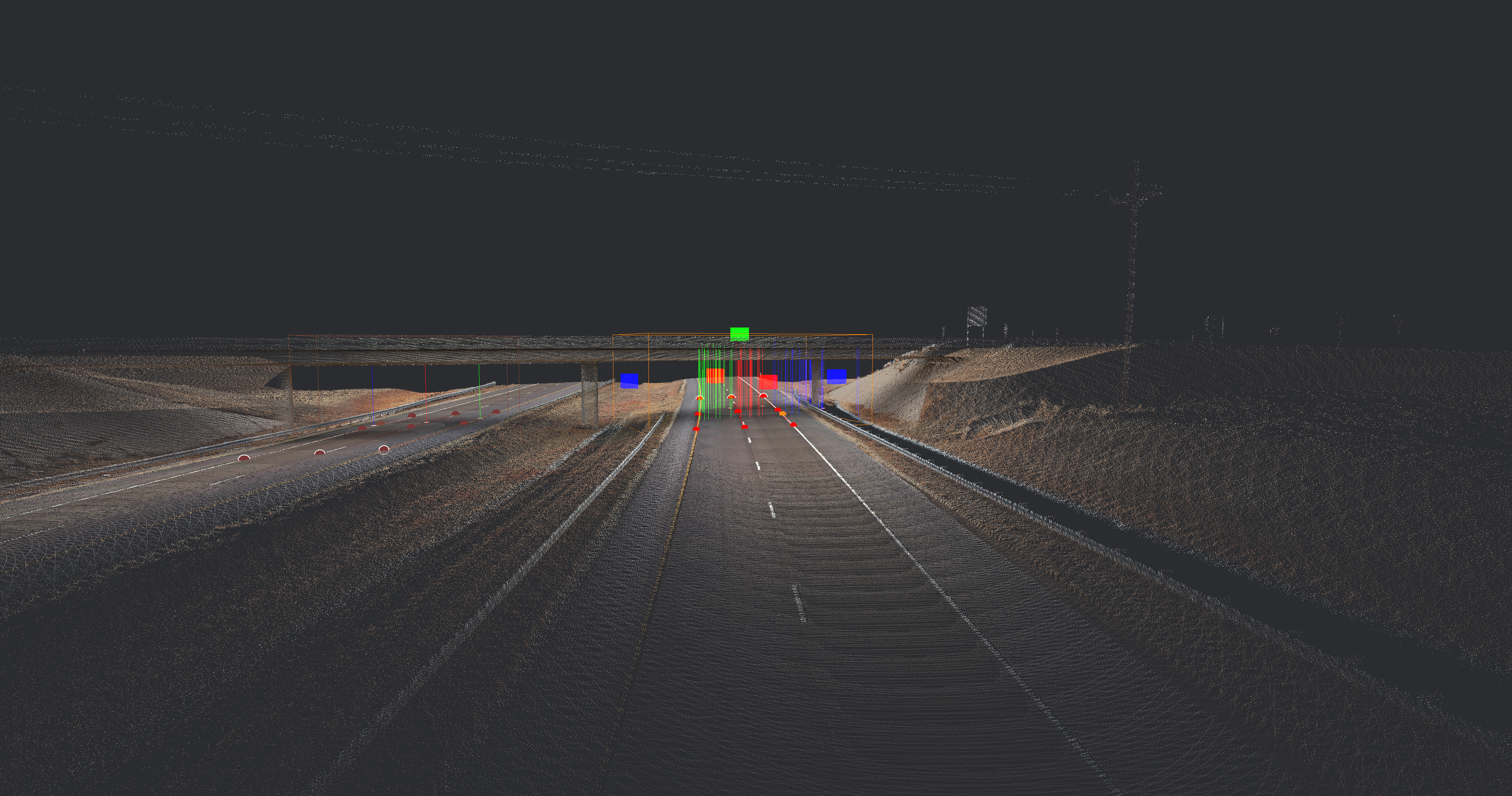
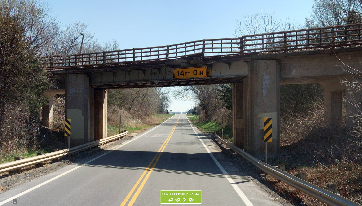
Each point GIS feature represents all lanes of traffic flowing the same direction on the same route under a bridge or other structure. The attributes for each feature include the height of the structure (vertical clearance) measured from each of up to 6 separate lanes.
Notes:
- KDOT has made minor additions to the attribute data. Please note that KDOT has not added, removed, or edited the position of any features. Likewise, KDOT has not changed the attribute values for any features:
- KDOT has populated the ID of the related bridge from the BrM (bridge maintenance) system in the Bridge Key field.
- For the dashboard (only), KDOT has added two attribute fields:
- LOWESTVC – defined as the lowest non-zero value in any of the clearance fields for this feature.
- VCGROUPS – this is simply a grouping of the LowestVC values for display purposes on the dashboard. This is the value shown on the dashboard for the pie chart and feature symbology.
- These features were collected and extracted only along the State Highway System routes for bridges and other structures running over those routes. Therefore, the data do not include features for State Highway System bridges over non-State Highway System routes.
- These features have not been validated/verified by KDOT’s Bridge Management or Engineering Data Management sections. For accurate Vertical Clearance information per bridge, please contact Bridge Management.


KDOT makes no warranties, guarantees, or representations for accuracy of this information or any materials that are downloaded and assumes no liability for errors or omissions. In addition, KDOT makes no warranties, guarantees, or representations for the private or public use of any information or materials found on this site, the use of any information or data is at the user’s own risk.
KDOT makes no warranties, guarantees, or representations for accuracy of this information or any materials that are downloaded and assumes no liability for errors or omissions. In addition, KDOT makes no warranties, guarantees, or representations for the private or public use of any information or materials found on this site, the use of any information or data is at the user’s own risk.

